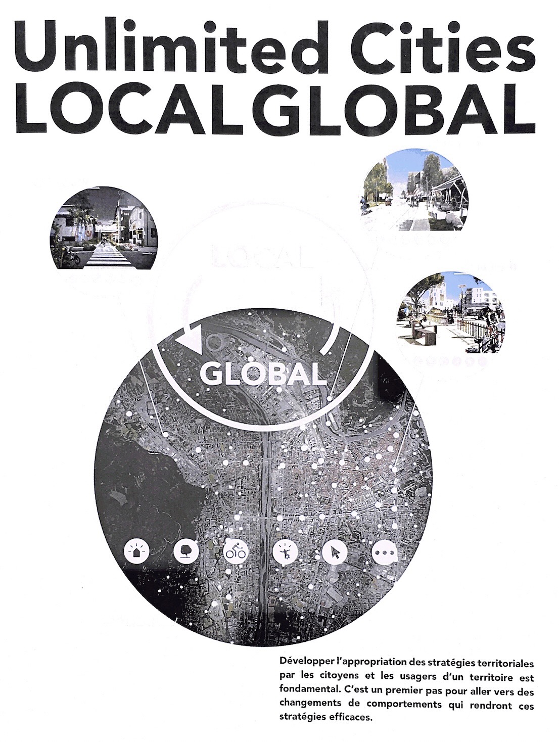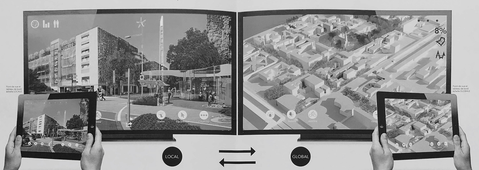
The interest of a Janus model as Local Global/Global Local UC
One way to link small-scale generic spaces, representative of a typological family (type a, type b, type c squares / type a small street, type b medium street, type c boulevard / buildings / mobility / facilities /, etc.) to cartographies where typologies are represented according to dynamic temporal evolutions.
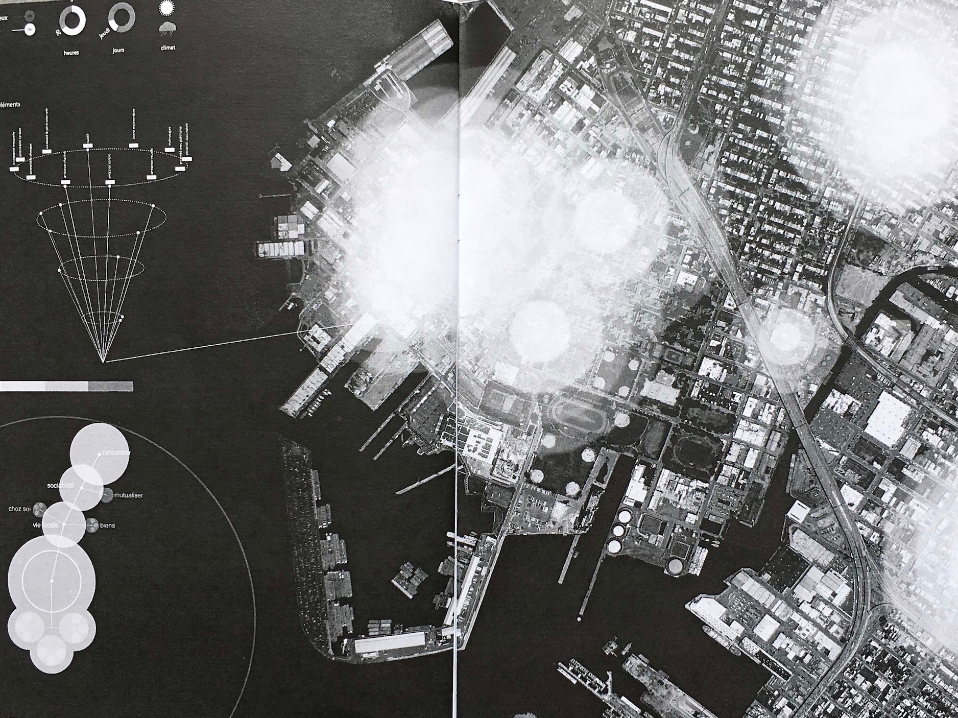
The cartographies allow running calculation algorithms in terms of biodiversity, sustainability, transport, urban quality of life, heat, agricultural production, flows, etc.
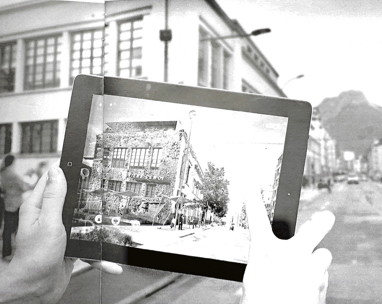
The most obvious way to use the model is to present the impacts of global transformations (necessarily theoretical representations) with their impacts on small-scale generic spaces (representation by photorealistic collages, pedestrian scale cf Unlimited Cities original). In this case, the model allows for a pedagogical approach.
More powerful is the ability to involve the model's recipients by manipulating either the generic spaces, and varying the indicators, or modifying the indicators and varying the generic spaces.
It is by exploring the behavior of the model that the complexity of the territorial system can be approached. And intentions can then be specified democratically, by enabling understanding for the greatest number.